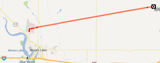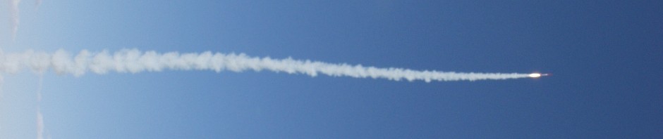
Launch happened the morning of Saturday, June 1st. We had three launches spaced out during the morning and early afternoon hours from Moses Lake, WA. We were successful in recovering two of the payload strings, and received good data from all three.
Flight 1 launched at shortly before 7:30AM PST and carried an experimental platform, and a backup APRS tracker based on my IRIS transmitter board. It reached a max altitude of approximately 105,000′. It was recovered by our recovery team after getting a final GPS position at only 4,000′ in altitude.
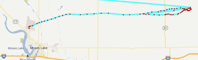
Flight 2 launched at shortly before 12:30PM PST and carried student payloads, a video telemetry system, an audio based telemetry system, digital telemetry, and a backup APRS tracker. It reached a max altitude of approximately 100,000′. It was recovered by our recovery team after getting a final GPS position at only 2,700′ in altitude.
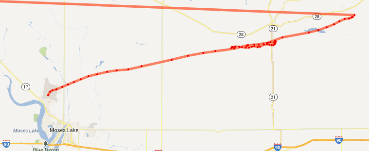
Flight 3 launched at shortly before 2:45PM PST and carried student payloads, a video telemetry system, an audio based telemetry system, digital telemetry, and a backup APRS tracker. Shortly after launch we experienced issues with the GPS units attached to several of our systems and have limited data on positions and altitude. This payload string was not recovered as the final position we were able to acquire was at approximately 25,000′ and provided for significant drifting.