Recently, I went on a trip to the Black Rock desert in Nevada with a group from the University of Washington to launch some high power amateur rockets. Seeing as though this is a thirteen hour drive from Seattle down to Black Rock, a number of days out on the playa, and another thirteen hours driving back, I though it would be an interesting use of an APRS tracker.
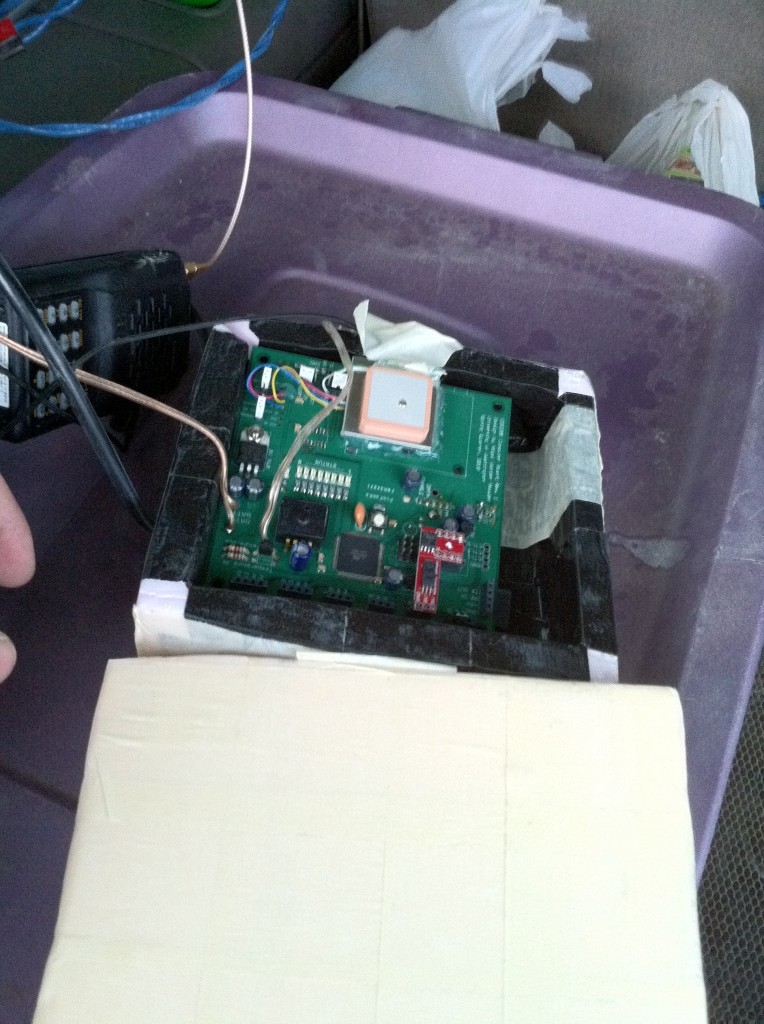
So, I rigged up a board I had for another project, which already had a microprocessor and a GPS, with a MX614 packet modem IC and a radio interface for my yaesu handheld. Powered the whole lot off a couple of 7AH sealed lead acid batteries, and stuck a mag mount antenna on top of the vehicle.
The system I mooched for this little project also happened to have several atmospheric sensors on it. Including barometric pressure, humidity and temperature. So, with a bit of modification to my original APRS tracker code, I had it sending position packets as well as weather report packets.
Coverage out on the playa is excellent thanks to the friendly hams at the Black Rock Amateur Radio Association who maintain several digipeaters as well as a couple of voice repeaters for use in the area on and surrounding the Black Rock desert. You can visit their website at cq-blackrock.org.
Anyway, with the help from the local digipeaters, my packets from out on the playa made it out to aprs.fi from which I downloaded the data after I got back home. Which you can now get from me here: APRSFI_RAW. The all the data is in standard APRS position and weather report formats.
To bring it all to a close, here’s a picture of the setup I had.

